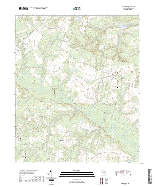
2024 Map of Alexander
USGS Topo · Published 2024About this map
Brier Creek winds through the heart of this Burke County landscape, defining a wide basin of wetlands and small tributaries. In the northern reaches, Telfair Woods sits near the headwaters of Beaverdam Creek and the expansive Telfair Pond. The settlement pattern is characterized by numerous small family and community burial grounds, such as Alexander Cem, Bethel Cem, and Foster Cem, which are often situated near the local road network. Significant water features like Fenwick Lake and Little Hell highlight the prominence of the creek system in this region. This survey captures the rural character of Georgia's coastal plain, where geographic landmarks like High Head rise above the surrounding swampy bottoms of Rocky Creek and Boggy Gut.
Find a feature on this map
70 named features on this map. Tap any name to fly to it.
Don’t see what you’re looking for? This feature index may not catch every label — zoom into the map to look around manually.
Map Details
Editions of this 2024 Alexander Map
This is the sole edition of this map. No revisions or reprints were ever made.
Other maps of this area

1920 · Ellenton
USGS Topo · 1:48,000

1920 · Hilltonia
USGS Topo · 1:62,500

1920 · Millen
USGS Topo · 1:62,500

1920 · Greens Cut
USGS Topo · 1:62,500

1921 · Ellenton
USGS Topo · 1:62,500

1943 · Hilltonia
USGS Topo · 1:62,500

1943 · Greens Cut
USGS Topo · 1:62,500

1943 · Millen
USGS Topo · 1:62,500

1943 · Augusta East
USGS Topo · 1:125,000

1943 · Millen
USGS Topo · 1:125,000