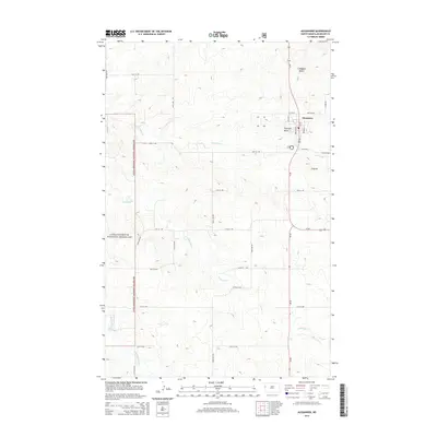
2014 Map of Alexander
USGS Topo · Published 2014About this map
Alexander serves as the focal point of this high-plains landscape in McKenzie County, where the grid of the North Dakota prairie meets the distinct topography of the Badlands. The western portion of the map is dominated by the Little Missouri National Grassland, a vast public expanse defined by its intricate drainage networks and prominent geological features. Three notable elevations, Ragged Butte, Foreman Butte, and the simply named A Butte, rise above the surrounding terrain, providing crucial landmarks for local navigation and ranching. The hydrologic character of the region is shaped by several seasonal watercourses, including Lonesome Cr, Antelope Cr, and Charbonneau Cr, which wind through the township. In Alexander itself, the street-level detail shows the early 21st-century configuration of local thoroughfares such as Elk St and Fallon St, reflecting the enduring structure of this rural community.
Find a feature on this map
28 named features on this map. Tap any name to fly to it.
Don’t see what you’re looking for? This feature index may not catch every label — zoom into the map to look around manually.
Map Details
Editions of this 2014 Alexander Map
This is the sole edition of this map. No revisions or reprints were ever made.
Other maps of this area

1953 · Watford City
USGS Topo · 1:250,000

1957 · Watford City
USGS Topo · 1:250,000

1967 · Watford City
USGS Topo · 1:250,000

1969 · Cartwright NE
USGS Topo · 1:24,000

1972 · Bear Butte
USGS Topo · 1:24,000

1972 · Alexander
USGS Topo · 1:24,000

1972 · Moline School
USGS Topo · 1:24,000

1972 · Rawson
USGS Topo · 1:24,000

1972 · Charbonneau
USGS Topo · 1:24,000

1972 · Sather Lake
USGS Topo · 1:24,000