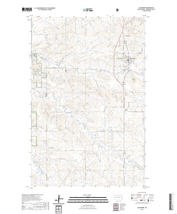
2024 Map of Alexander
USGS Topo · Published 2024About this map
The town of Alexander stands as a central hub in this McKenzie County landscape, situated near the headwaters of Lonesome Creek and Antelope Creek. The terrain is defined by prominent high points such as Foreman Butte, Ragged Butte, and the simply named A Butte, which overlook a network of section-line roads and drainage basins. A portion of the Little Missouri National Grassland occupies the western reaches of the quadrangle, preserving the character of the North Dakota badlands. Local infrastructure is highly detailed within the settlement, showing the layout of Main St and Elk St, while the surrounding rural areas are punctuated by modern industrial indicators like Roughneck Rd, reflecting the region's intersection of traditional prairie agriculture and contemporary energy development.
Find a feature on this map
39 named features on this map. Tap any name to fly to it.
Don’t see what you’re looking for? This feature index may not catch every label — zoom into the map to look around manually.
Map Details
Editions of this 2024 Alexander Map
This is the sole edition of this map. No revisions or reprints were ever made.
Other maps of this area

1953 · Watford City
USGS Topo · 1:250,000

1957 · Watford City
USGS Topo · 1:250,000

1967 · Watford City
USGS Topo · 1:250,000

1969 · Cartwright NE
USGS Topo · 1:24,000

1972 · Bear Butte
USGS Topo · 1:24,000

1972 · Alexander
USGS Topo · 1:24,000

1972 · Moline School
USGS Topo · 1:24,000

1972 · Rawson
USGS Topo · 1:24,000

1972 · Charbonneau
USGS Topo · 1:24,000

1972 · Sather Lake
USGS Topo · 1:24,000