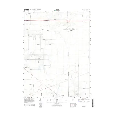
2015 Map of Alexander
USGS Topo · Published 2015About this map
Orleans and Alexander anchor the northern corridor of this landscape, situated along the historic path of Old 36. The geography is defined by a series of south-flowing drainage systems, most notably Mauvaise Terre Cr and the Left Fork Apple Cr, which carve through the agricultural terrain. Small hamlets and historic intersections such as Pisgah, Yeomans, and Rees are scattered throughout, connected by a network of rural roads like Prairie College Rd and Loami Rd.
Find a feature on this map
65 named features on this map. Tap any name to fly to it.
Don’t see what you’re looking for? This feature index may not catch every label — zoom into the map to look around manually.
Map Details
Editions of this 2015 Alexander Map
This is the sole edition of this map. No revisions or reprints were ever made.
Other maps of this area

1909 · Tallula
USGS Topo · 1:62,500

1924 · Waverly
USGS Topo · 1:62,500

1926 · Waverly
USGS Topo · 1:62,500

1932 · Jacksonville
USGS Topo · 1:62,500

1932 · Virginia
USGS Topo · 1:62,500

1936 · Virginia
USGS Topo · 1:62,500

1937 · Jacksonville
USGS Topo · 1:62,500

1940 · Tallula
USGS Topo · 1:62,500

1948 · Quincy
USGS Topo · 1:250,000

1956 · Quincy
USGS Topo · 1:250,000