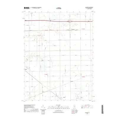
2018 Map of Alexander
USGS Topo · Published 2018About this map
Alexander and the surrounding Morgan County landscape are defined by a rhythmic grid of rural roads and small rail-oriented settlements. The village of Orleans sits to the west, while the southern reaches are anchored by Franklin and the small siding at Yeomans. This 2018 survey shows a geography deeply tied to its original survey townships, including t15n r9w and t14n r8w, where early burial grounds like Sulphur Springs Cem and Sacred Heart Cem remain as physical markers of the area's ancestral roots.
Find a feature on this map
75 named features on this map. Tap any name to fly to it.
Don’t see what you’re looking for? This feature index may not catch every label — zoom into the map to look around manually.
Map Details
Editions of this 2018 Alexander Map
This is the sole edition of this map. No revisions or reprints were ever made.
Other maps of this area

1909 · Tallula
USGS Topo · 1:62,500

1924 · Waverly
USGS Topo · 1:62,500

1926 · Waverly
USGS Topo · 1:62,500

1932 · Jacksonville
USGS Topo · 1:62,500

1932 · Virginia
USGS Topo · 1:62,500

1936 · Virginia
USGS Topo · 1:62,500

1937 · Jacksonville
USGS Topo · 1:62,500

1940 · Tallula
USGS Topo · 1:62,500

1948 · Quincy
USGS Topo · 1:250,000

1956 · Quincy
USGS Topo · 1:250,000