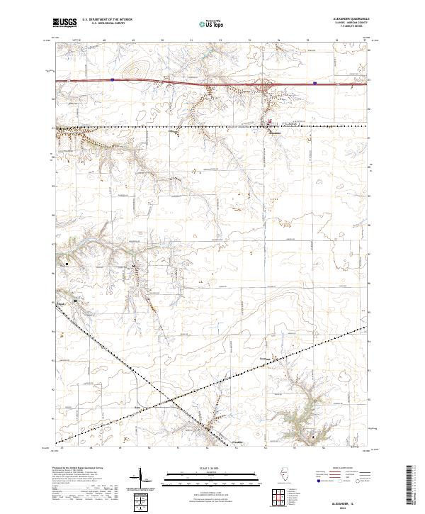
2024 Map of Alexander
USGS Topo · Published 2024About this map
The agrarian landscape of Morgan County is defined here by a series of small rural settlements including Orleans, Alexander, and Pisgah. Modern transportation corridors like Interstate 72 and Old Rte 36 cut across the northern sections, yet the underlying map reveals a dense network of local roads such as Prairie College Rd and Franklin Alexander Rd that follow historical property lines.
Find a feature on this map
67 named features on this map. Tap any name to fly to it.
Don’t see what you’re looking for? This feature index may not catch every label — zoom into the map to look around manually.
Map Details
Editions of this 2024 Alexander Map
This is the sole edition of this map. No revisions or reprints were ever made.
Other maps of this area

1909 · Tallula
USGS Topo · 1:62,500

1924 · Waverly
USGS Topo · 1:62,500

1926 · Waverly
USGS Topo · 1:62,500

1932 · Jacksonville
USGS Topo · 1:62,500

1932 · Virginia
USGS Topo · 1:62,500

1936 · Virginia
USGS Topo · 1:62,500

1937 · Jacksonville
USGS Topo · 1:62,500

1940 · Tallula
USGS Topo · 1:62,500

1948 · Quincy
USGS Topo · 1:250,000

1956 · Quincy
USGS Topo · 1:250,000