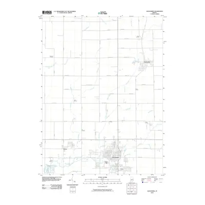
2010 Map of Alexandria
USGS Topo · Published 2010About this map
Alexandria serves as the central hub of this northern Madison County landscape, surrounded by a complex network of agricultural drainage and small-town settlements. The map shows the distinct boundaries of Summitville to the northeast and Orestes to the west, along with the smaller enclave of Gimco City. This area is characterized by an extensive system of waterways and ditches, such as Pipe Creek, Mud Creek, and Lilly Creek, which reflect the region's managed hydrology essential for local farming.
Find a feature on this map
56 named features on this map. Tap any name to fly to it.
Don’t see what you’re looking for? This feature index may not catch every label — zoom into the map to look around manually.
Map Details
Editions of this 2010 Alexandria Map
This is the sole edition of this map. No revisions or reprints were ever made.
Other maps of this area

1953 · Muncie
USGS Topo · 1:250,000

1956 · Muncie
USGS Topo · 1:250,000

1960 · Gilman
USGS Topo · 1:24,000

1960 · Elwood
USGS Topo · 1:24,000

1960 · Point Isabel
USGS Topo · 1:24,000

1960 · Alexandria
USGS Topo · 1:24,000

1960 · Fairmount
USGS Topo · 1:24,000

1960 · Gas City
USGS Topo · 1:24,000

1960 · Gaston
USGS Topo · 1:24,000

1960 · Anderson North
USGS Topo · 1:24,000