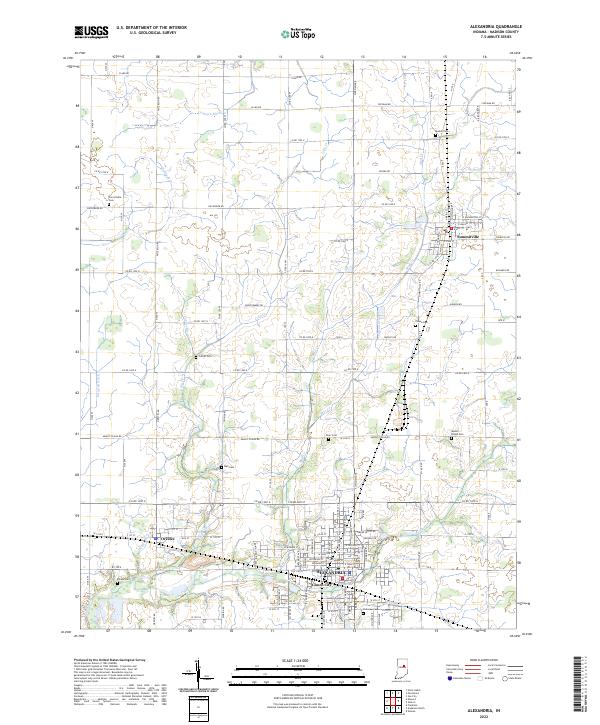
2022 Map of Alexandria
USGS Topo · Published 2022About this map
Alexandria serves as the central hub of this north-central Indiana landscape, where the urban grid gives way to a highly managed agricultural plain defined by a complex drainage network. The town of Summitville sits to the northeast, while Orestes and Gimco City are positioned along the southern corridor, illustrating the cluster of residential centers that emerged around the region's transport routes. The land is intersected by numerous named waterways including Pipe Creek, Big Duck Cr, and Lilly Cr, alongside engineered channels like Swanfeldt Ditch and Cochran Ditch. These features point to the historical necessity of field drainage to support the productive farmland of Madison County. Family and local history is preserved in several rural burial grounds scattered across the townships, such as Mount Pisgah Cem and Forrestville Cem, which remain as landmarks amidst the expansive sections of the Public Land Survey System.
Find a feature on this map
87 named features on this map. Tap any name to fly to it.
Don’t see what you’re looking for? This feature index may not catch every label — zoom into the map to look around manually.
Map Details
Editions of this 2022 Alexandria Map
This is the sole edition of this map. No revisions or reprints were ever made.
Other maps of this area

1953 · Muncie
USGS Topo · 1:250,000

1956 · Muncie
USGS Topo · 1:250,000

1960 · Gilman
USGS Topo · 1:24,000

1960 · Elwood
USGS Topo · 1:24,000

1960 · Point Isabel
USGS Topo · 1:24,000

1960 · Alexandria
USGS Topo · 1:24,000

1960 · Fairmount
USGS Topo · 1:24,000

1960 · Gas City
USGS Topo · 1:24,000

1960 · Gaston
USGS Topo · 1:24,000

1960 · Anderson North
USGS Topo · 1:24,000