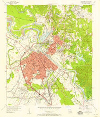
1957 Map of Alexandria
USGS Topo · Published 1958About this map
The Red River defines the central axis of this mid-century survey, dividing the urban centers of Alexandria and Pineville. This era reveals a landscape of significant institutional development, marked by the sprawling grounds of the Central Louisiana State Hospital, Camp Beauregard, and the V A Hospital. The rail infrastructure is particularly dense, with the Kansas City Southern, Texas and Pacific, and Missouri Pacific lines converging at the Alexandria Junc.
Find a feature on this map
92 named features on this map. Tap any name to fly to it.
Don’t see what you’re looking for? This feature index may not catch every label — zoom into the map to look around manually.
Map Details
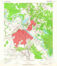
Editions of this 1957 Alexandria Map
2 editions found
Other maps of this area

1932 · Boyce NE
USGS Topo · 1:31,680

1935 · Lecompte
USGS Topo · 1:62,500

1941 · Alexandria
USGS Topo · 1:62,500

1941 · Boyce
USGS Topo · 1:62,500

1945 · Boyce SE
USGS Topo · 1:31,680

1949 · Boyce SE
USGS Topo · 1:31,680

1953 · Alexandria
USGS Topo · 1:250,000

1955 · Alexandria
USGS Topo · 1:250,000

1956 · Forest Hill
USGS Topo · 1:62,500

1956 · Boyce
USGS Topo · 1:62,500