
1956 Map of Boyce
USGS Topo · Published 1957About this map
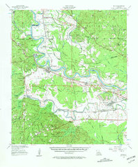
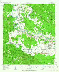
England Air Force Base dominates the eastern bottomlands of this 1950s survey, situated along a sharp bend of the Red River. The landscape is a study in contrasts between the broad, alluvial plains where the Texas and Pacific RR serves settlements like Boyce and Alfalfa, and the elevated timberlands of the Kisatchie National Forest to the west. This upland area is marked by numerous family and community landmarks, including the Raven Camp Sch and several remote houses of worship like St Matthias Ch.
Find a feature on this map
112 named features on this map. Tap any name to fly to it.
Don’t see what you’re looking for? This feature index may not catch every label — zoom into the map to look around manually.
Map Details
Editions of this 1956 Boyce Map
3 editions found
Other maps of this area

1932 · Boyce NE
USGS Topo · 1:31,680

1932 · Boyce SW
USGS Topo · 1:31,680

1932 · Colfax SW
USGS Topo · 1:31,680

1932 · Colfax SE
USGS Topo · 1:31,680

1935 · Lecompte
USGS Topo · 1:62,500

1936 · Colfax
USGS Topo · 1:62,500

1936 · Pollock
USGS Topo · 1:62,500

1937 · Chopin NE
USGS Topo · 1:31,680

1937 · Aloha
USGS Topo · 1:31,680

1937 · Montgomery
USGS Topo · 1:62,500