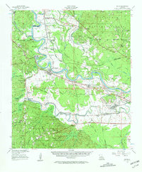
1956 Map of Boyce
USGS Topo · Published 1962About this map
England Air Force Base dominates the eastern landscape in this survey of Central Louisiana, marking the military presence near the Red River during the mid-1950s. The river's winding course defines the region, bordered by industrial markers like the Rock Quarry and the Texas and Pacific and Kansas City Southern railroads. To the south, the terrain rises into the Kisatchie National Forest, where the topography becomes more complex around Kincaid Lake and Cotile Lake. Local life is recorded through a dense network of country churches and family burial grounds, including First Evening Star Ch and the Valentine Cem. The settlement at Boyce serves as a hub between the fertile river bottomlands and the timbered hills, while smaller communities like Zimmerman and Hotwells reflect the local economy and early 20th-century development patterns.
Find a feature on this map
114 named features on this map. Tap any name to fly to it.
Don’t see what you’re looking for? This feature index may not catch every label — zoom into the map to look around manually.
Map Details
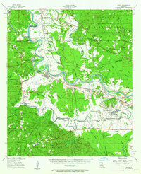
Editions of this 1956 Boyce Map
3 editions found

Other maps of this area

1932 · Boyce NE
USGS Topo · 1:31,680

1932 · Boyce SW
USGS Topo · 1:31,680

1932 · Colfax SW
USGS Topo · 1:31,680

1932 · Colfax SE
USGS Topo · 1:31,680

1935 · Lecompte
USGS Topo · 1:62,500

1936 · Colfax
USGS Topo · 1:62,500

1936 · Pollock
USGS Topo · 1:62,500

1937 · Chopin NE
USGS Topo · 1:31,680

1937 · Aloha
USGS Topo · 1:31,680

1937 · Montgomery
USGS Topo · 1:62,500