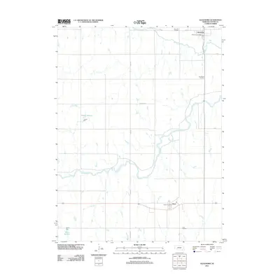
2011 Map of Alexandria
USGS Topo · Published 2011About this map
Alexandria and Gilead anchor this section of Thayer County, where the agricultural landscape is defined by the winding course of the Little Blue River and Big Sandy Creek. The placement of these settlements reflects a reliance on the area's water resources and the established road network, including routes like Tower Rd and Monument Rd. Local civic life is centered at the Alexandria Post Office and Gilead Post Office, while the surrounding prairie is dotted with smaller water features like Balls Branch and human-made landmarks such as Hergott Reservoir, held by the Hergott Dam. For those tracing family histories, the map identifies several local burial grounds, including Alexandria Cemetery, Saint Marys Cemetery, and Union Cemetery, which serve as permanent records of the early families who settled this part of Nebraska.
Find a feature on this map
21 named features on this map. Tap any name to fly to it.
Don’t see what you’re looking for? This feature index may not catch every label — zoom into the map to look around manually.
Map Details
Editions of this 2011 Alexandria Map
This is the sole edition of this map. No revisions or reprints were ever made.
Other maps of this area

1898 · Hebron
USGS Topo · 1:125,000

1955 · Lincoln
USGS Topo · 1:250,000

1957 · Lincoln
USGS Topo · 1:250,000

1958 · Lincoln
USGS Topo · 1:250,000

1960 · Bruning
USGS Topo · 1:24,000

1960 · Chester
USGS Topo · 1:24,000

1960 · Reynolds
USGS Topo · 1:24,000

1960 · Hubbell
USGS Topo · 1:24,000

1960 · Tobias SW
USGS Topo · 1:24,000

1960 · Alexandria
USGS Topo · 1:24,000