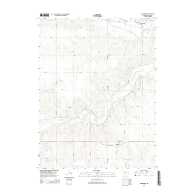
2014 Map of Alexandria
USGS Topo · Published 2014About this map
The Little Blue River carves a winding path through this portion of Thayer County, defining the valley landscape south of Alexandria. This rural survey highlights the grid of section roads and the centralized community of Gilead along Us-136, where Front Ave and Railroad St form the local core. The terrain is marked by significant water features, including Big Sandy Creek in the north and the Hergott Reservoir and Fischer Reservoir further south.
Find a feature on this map
35 named features on this map. Tap any name to fly to it.
Don’t see what you’re looking for? This feature index may not catch every label — zoom into the map to look around manually.
Map Details
Editions of this 2014 Alexandria Map
This is the sole edition of this map. No revisions or reprints were ever made.
Other maps of this area

1898 · Hebron
USGS Topo · 1:125,000

1955 · Lincoln
USGS Topo · 1:250,000

1957 · Lincoln
USGS Topo · 1:250,000

1958 · Lincoln
USGS Topo · 1:250,000

1960 · Bruning
USGS Topo · 1:24,000

1960 · Chester
USGS Topo · 1:24,000

1960 · Reynolds
USGS Topo · 1:24,000

1960 · Hubbell
USGS Topo · 1:24,000

1960 · Tobias SW
USGS Topo · 1:24,000

1960 · Alexandria
USGS Topo · 1:24,000