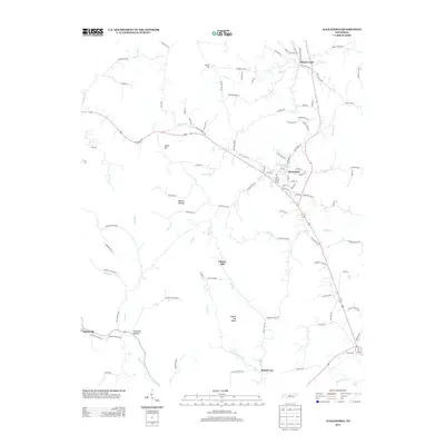
2013 Map of Alexandria
USGS Topo · Published 2013About this map
Alexandria serves as the central hub of this Middle Tennessee landscape, where the confluence of several local streams and old road networks defines the settlement pattern. The town is flanked by the winding courses of Goose Cr and Hickman Cr, while the surrounding terrain is marked by significant elevations like Hearn Hill and Liberty Hill. To the south, the topography becomes more pronounced near Round Top Knob, overlooking the drainage basin of Smith Fork Cr.
Find a feature on this map
105 named features on this map. Tap any name to fly to it.
Don’t see what you’re looking for? This feature index may not catch every label — zoom into the map to look around manually.
Map Details
Editions of this 2013 Alexandria Map
This is the sole edition of this map. No revisions or reprints were ever made.
Other maps of this area

1893 · Mc Minnville
USGS Topo · 1:125,000

1895 · Mc Minnville
USGS Topo · 1:125,000

1908 · Woodbury
USGS Topo · 1:62,500

1928 · Gordonsville
USGS Topo · 1:62,500

1942 · Statesville
USGS Topo · 1:100,000

1953 · Chattanooga
USGS Topo · 1:250,000

1956 · Columbia
USGS Topo · 1:250,000

1956 · Corbin
USGS Topo · 1:250,000

1956 · Nashville
USGS Topo · 1:250,000

1957 · Chattanooga
USGS Topo · 1:250,000