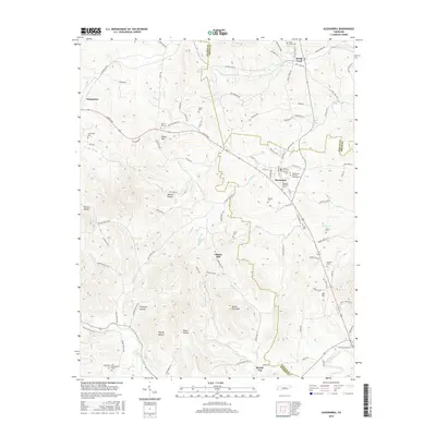
2016 Map of Alexandria
USGS Topo · Published 2016About this map
Alexandria and Watertown anchor this 2016 study of the Tennessee countryside, where the landscape is defined by a dense network of family cemeteries and named hollows. The settlement pattern follows the drainage of Hickman Cr and Smith Fork Creek, with numerous smaller waterways like Brush Creek and Goose Cr carving through the terrain. Genealogists will find a wealth of specific local landmarks, from the Alexandria Eastview Colored Cem to the Old Campground Cem near the southern boundary. Higher ground is marked by prominent features such as Round Top Knob and Hearn Hill, while the lower elevations are home to storied locales like Malone Hollow and Chumley Hollow. This modern survey documents how historical community centers like Liberty Hill persist alongside contemporary infrastructure, preserving the names of the families who settled these ridges and valleys over generations.
Find a feature on this map
111 named features on this map. Tap any name to fly to it.
Don’t see what you’re looking for? This feature index may not catch every label — zoom into the map to look around manually.
Map Details
Editions of this 2016 Alexandria Map
This is the sole edition of this map. No revisions or reprints were ever made.
Other maps of this area

1893 · Mc Minnville
USGS Topo · 1:125,000

1895 · Mc Minnville
USGS Topo · 1:125,000

1908 · Woodbury
USGS Topo · 1:62,500

1928 · Gordonsville
USGS Topo · 1:62,500

1942 · Statesville
USGS Topo · 1:100,000

1953 · Chattanooga
USGS Topo · 1:250,000

1956 · Columbia
USGS Topo · 1:250,000

1956 · Corbin
USGS Topo · 1:250,000

1956 · Nashville
USGS Topo · 1:250,000

1957 · Chattanooga
USGS Topo · 1:250,000