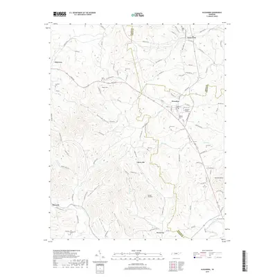
2019 Map of Alexandria
USGS Topo · Published 2019About this map
Alexandria and Watertown anchor this landscape of the Central Basin, where the drainages of Hickman Cr and Smith Fork Creek have carved a series of hollows and ridges. The map reveals a dense network of family-named landmarks and burial sites, including the Alexandria Eastview Colored Cem and the Old Campground Cem near Statesville. These small rural cemeteries, alongside settlements like Hearn Hill and Liberty Hill, indicate a long-standing pattern of dispersed agricultural communities that follow the creek valleys.
Find a feature on this map
116 named features on this map. Tap any name to fly to it.
Don’t see what you’re looking for? This feature index may not catch every label — zoom into the map to look around manually.
Map Details
Editions of this 2019 Alexandria Map
This is the sole edition of this map. No revisions or reprints were ever made.
Other maps of this area

1893 · Mc Minnville
USGS Topo · 1:125,000

1895 · Mc Minnville
USGS Topo · 1:125,000

1908 · Woodbury
USGS Topo · 1:62,500

1928 · Gordonsville
USGS Topo · 1:62,500

1942 · Statesville
USGS Topo · 1:100,000

1953 · Chattanooga
USGS Topo · 1:250,000

1956 · Columbia
USGS Topo · 1:250,000

1956 · Corbin
USGS Topo · 1:250,000

1956 · Nashville
USGS Topo · 1:250,000

1957 · Chattanooga
USGS Topo · 1:250,000