Loading...
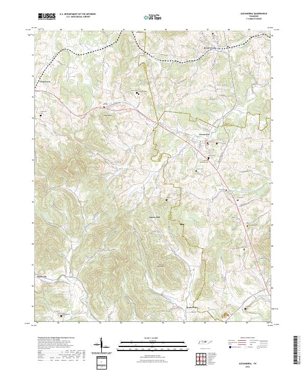
Loading map...2022 Map of Alexandria
USGS Topo · Published 2022About this map
Alexandria and Watertown anchor this rural landscape where the boundaries of Wilson, DeKalb, and Smith counties converge. The terrain is defined by a dense network of hollows, including Malone Hollow, Chumley Hollow, and Talent Hollow, which channel numerous tributaries toward larger water bodies like Hickman Cr and Smith Fork Creek. These drainages historically dictated the placement of early settlements and the winding paths of roads like Sparta Pike and Old Alexandria Rd.
Find a feature on this map
113 named features on this map. Tap any name to fly to it.
Don’t see what you’re looking for? This feature index may not catch every label — zoom into the map to look around manually.
Map Details
Date Portrayed2022
Date Published2022
PublisherU.S. Geological Survey
Map TypeTopographic
Scale1:24000
Physical Dimensions24 x 29 inches
Editions of this 2022 Alexandria Map
This is the sole edition of this map. No revisions or reprints were ever made.
Historical Maps of Statesville Through Time
Featured Locations
Source Details
SourceU.S. Geological Survey
CopyrightPublic Domain