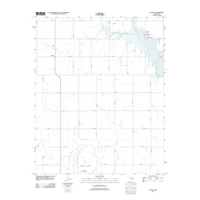
2012 Map of Alfalfa
USGS Topo · Published 2012About this map
Alfalfa stands at the center of this 2012 Caddo County landscape, surrounded by an organized grid of section roads that define the rural character of this Oklahoma plains region. The map captures a transition between dry agricultural lands and the water resources of the east, where the Fort Cobb Reservoir and Swan Lake are fed by Cobb Cr. To the south, the terrain descends toward the Washita River valley, a vital drainage point for tributaries like Cedar Cr and Running Cr.
Find a feature on this map
26 named features on this map. Tap any name to fly to it.
Don’t see what you’re looking for? This feature index may not catch every label — zoom into the map to look around manually.
Map Details
Editions of this 2012 Alfalfa Map
This is the sole edition of this map. No revisions or reprints were ever made.
Other maps of this area

1951 · Binger
USGS Topo · 1:62,500

1951 · Fort Cobb
USGS Topo · 1:62,500

1955 · Clinton
USGS Topo · 1:250,000

1957 · Clinton
USGS Topo · 1:250,000

1961 · Eakly
USGS Topo · 1:62,500

1961 · Carnegie
USGS Topo · 1:62,500

1979 · Sickles
USGS Topo · 1:24,000
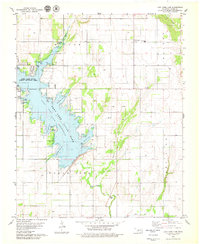
1979 · Fort Cobb Dam
USGS Topo · 1:24,000
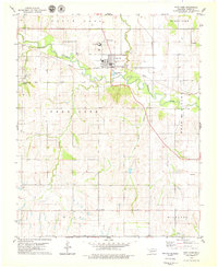
1979 · Fort Cobb
USGS Topo · 1:24,000

1984 · Eakly
USGS Topo · 1:24,000