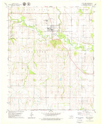
1979 Map of Fort Cobb
USGS Topo · Published 1979About this map
The Washita River meanders across this landscape, defining the character of the Caddo County terrain in the late 1970s. The town of Fort Cobb serves as a central hub, situated where the Chicago Rock Island and Pacific railroad line crosses the river. Local heritage sites are prominent, including the Indian Ceremonial Grounds to the west and several rural places of worship like Macedonia Ch and Apache Ch.
Find a feature on this map
29 named features on this map. Tap any name to fly to it.
Don’t see what you’re looking for? This feature index may not catch every label — zoom into the map to look around manually.
Map Details
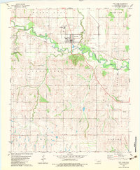
Editions of this 1979 Fort Cobb Map
2 editions found
Other maps of this area

1950 · Saddle Mountain
USGS Topo · 1:62,500

1951 · Fort Cobb
USGS Topo · 1:62,500

1955 · Lawton
USGS Topo · 1:250,000

1955 · Clinton
USGS Topo · 1:250,000

1956 · Alden
USGS Topo · 1:24,000

1956 · Boone
USGS Topo · 1:24,000

1956 · Apache
USGS Topo · 1:24,000

1956 · Apache
USGS Topo · 1:62,500

1956 · Saddle Mountain
USGS Topo · 1:62,500

1957 · Clinton
USGS Topo · 1:250,000