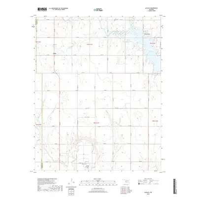
2018 Map of Alfalfa
USGS Topo · Published 2018About this map
The Alfalfa community and its surrounding agricultural lands are defined by the convergence of several major water systems in central Oklahoma. The northern portion of the landscape is dominated by the northern reaches of the Fort Cobb Reservoir and the tranquil Swan Lake, while the Washita River winds along the southern edge. This topography reveals a region deeply tied to its water resources, with numerous tributaries like Running Cr, Cobb Cr, and Cedar Cr dissecting the high plains terrain. Local history is anchored by several distinct burial grounds, including Alfalfa Cem, Radford Cem, and Botone Cem, which serve as vital markers for genealogical research in Caddo and Washita counties. Near the southern boundary, the Carnegie Municipal Airport and the Daugamah Cem sit amidst a grid of section-line roads, reflecting a modern landscape that maintains its early 20th-century rural structure.
Find a feature on this map
55 named features on this map. Tap any name to fly to it.
Don’t see what you’re looking for? This feature index may not catch every label — zoom into the map to look around manually.
Map Details
Editions of this 2018 Alfalfa Map
This is the sole edition of this map. No revisions or reprints were ever made.
Other maps of this area

1951 · Binger
USGS Topo · 1:62,500

1951 · Fort Cobb
USGS Topo · 1:62,500

1955 · Clinton
USGS Topo · 1:250,000

1957 · Clinton
USGS Topo · 1:250,000

1961 · Eakly
USGS Topo · 1:62,500

1961 · Carnegie
USGS Topo · 1:62,500

1979 · Sickles
USGS Topo · 1:24,000
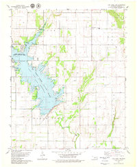
1979 · Fort Cobb Dam
USGS Topo · 1:24,000
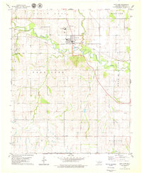
1979 · Fort Cobb
USGS Topo · 1:24,000

1984 · Eakly
USGS Topo · 1:24,000