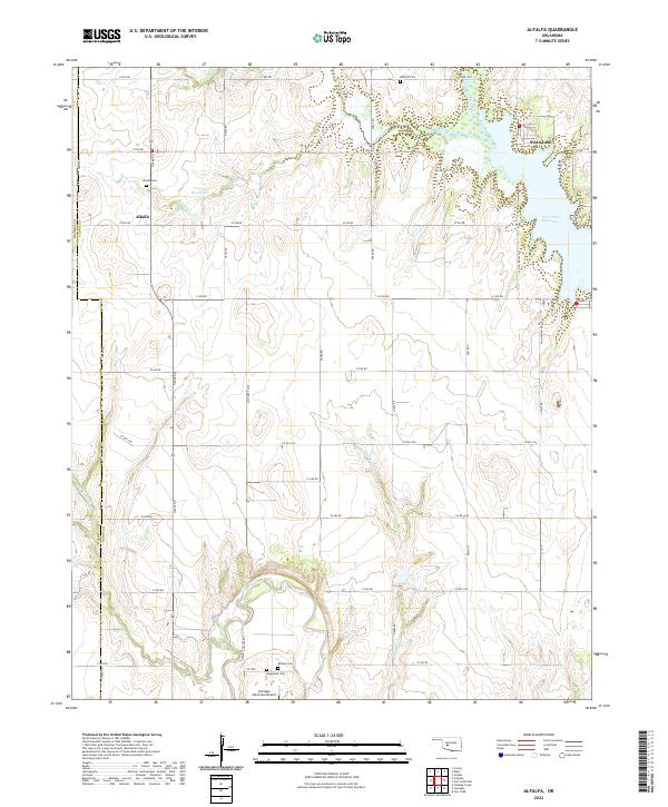
2022 Map of Alfalfa
USGS Topo · Published 2022About this map
Alfalfa stands at the center of this rural landscape where Caddo and Washita counties meet. The terrain is defined by the winding course of the Washita River in the south and the sprawling waters of the Fort Cobb Reservoir and Swan Lake to the east. This area serves as a significant intersection of local history, evidenced by several small family or community burial grounds including Alfalfa Cem, Radford Cem, and Botone Cem.
Find a feature on this map
53 named features on this map. Tap any name to fly to it.
Don’t see what you’re looking for? This feature index may not catch every label — zoom into the map to look around manually.
Map Details
Editions of this 2022 Alfalfa Map
This is the sole edition of this map. No revisions or reprints were ever made.
Other maps of this area

1951 · Binger
USGS Topo · 1:62,500

1951 · Fort Cobb
USGS Topo · 1:62,500

1955 · Clinton
USGS Topo · 1:250,000

1957 · Clinton
USGS Topo · 1:250,000

1961 · Eakly
USGS Topo · 1:62,500

1961 · Carnegie
USGS Topo · 1:62,500

1979 · Sickles
USGS Topo · 1:24,000
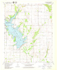
1979 · Fort Cobb Dam
USGS Topo · 1:24,000
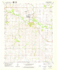
1979 · Fort Cobb
USGS Topo · 1:24,000

1984 · Eakly
USGS Topo · 1:24,000