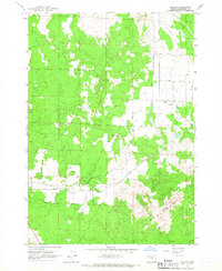
1962 Map of Alfalfa
USGS Topo · Published 1967About this map
The community of Alfalfa sits at the heart of this high-desert landscape in Deschutes County, where the transition from irrigated farmland to the arid Badlands is clearly visible. This early 1960s snapshot captures the vital importance of water management in Central Oregon, with the Central Oregon Canal and its intricate network of irrigation ditches winding through the terrain to support local homesteads. Local infrastructure is anchored by the Grange Hall and a series of family-named corridors such as Abernathy Rd, Horsell Road, and Schmidt Road, which reflect the area's agricultural roots. The eastern portion of the map is defined by the course of the Dry River, a fossil watercourse that illustrates the ancient geological history of the region. Scattered Gravel Pit operations near Walker Road further emphasize the land's utility for both habitation and development during this period of mid-century growth.
Find a feature on this map
19 named features on this map. Tap any name to fly to it.
Don’t see what you’re looking for? This feature index may not catch every label — zoom into the map to look around manually.
Map Details
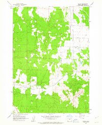
Editions of this 1962 Alfalfa Map
2 editions found
Other maps of this area

1926 · Bend
USGS Topo · 1:125,000

1929 · Bend
USGS Topo · 1:125,000

1931 · Newberry Crater
USGS Topo · 1:125,000

1935 · Newberry Crater
USGS Topo · 1:125,000

1955 · Crescent
USGS Topo · 1:250,000

1955 · Bend
USGS Topo · 1:250,000

1957 · Crescent
USGS Topo · 1:250,000

1957 · Bend
USGS Topo · 1:250,000

1958 · Crescent
USGS Topo · 1:250,000

1958 · Bend
USGS Topo · 1:250,000