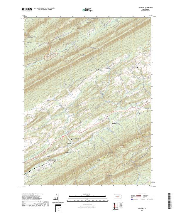
2023 Map of Alfarata
USGS Topo · Published 2023About this map
Jacks Mountain and Shade Mountain dominate the topography of this central Pennsylvania corridor, framing a series of narrow agricultural and residential valleys. The settlement of Alfarata and nearby Paintersville are central to the landscape, situated along the foot of Jacks Creek Ridge. The area is notably dense with small family and denominational burial grounds, including the Bell-Sigler Cem and Alfarata Lutheran Cem, which offer significant touchpoints for genealogical research in Mifflin County.
Find a feature on this map
136 named features on this map. Tap any name to fly to it.
Don’t see what you’re looking for? This feature index may not catch every label — zoom into the map to look around manually.
Map Details
Editions of this 2023 Alfarata Map
This is the sole edition of this map. No revisions or reprints were ever made.
Other maps of this area

1924 · Centre Hall
USGS Topo · 1:62,500

1924 · Lewistown
USGS Topo · 1:62,500

1925 · Mifflintown
USGS Topo · 1:48,000

1927 · Lewisburg
USGS Topo · 1:62,500

1929 · Centre Hall
USGS Topo · 1:62,500

1934 · Mifflintown
USGS Topo · 1:62,500

1937 · Mifflintown
USGS Topo · 1:62,500

1937 · Millheim
USGS Topo · 1:48,000

1941 · Millheim
USGS Topo · 1:62,500

1943 · Lewistown
USGS Topo · 1:125,000
Featured Places
- Decatur Township, PA
- Fermanagh Township, PA
- Derry Township, PA
- Soradoville, Decatur Township
- Shindle, Decatur Township