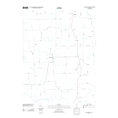
2013 Map of Alfordsville
USGS Topo · Published 2013About this map
The Alfordsville settlement serves as the central hub of this rural Indiana landscape, situated north of the E Fork White River. This topography is defined by the convergence of several major drainages, including Haw Cr, Slate Cr, and the winding paths of Sugar Cr and its eastern and western forks. The rural road network reflects a history of family landholdings and small-scale community infrastructure, evidenced by named thoroughfares like Truelove Church Rd and Brooks Bridge Rd.
Find a feature on this map
80 named features on this map. Tap any name to fly to it.
Don’t see what you’re looking for? This feature index may not catch every label — zoom into the map to look around manually.
Map Details
Editions of this 2013 Alfordsville Map
This is the sole edition of this map. No revisions or reprints were ever made.
Other maps of this area

1902 · Ditney
USGS Topo · 1:125,000

1903 · Velpen
USGS Topo · 1:62,500

1944 · Montgomery
USGS Topo · 1:24,000

1944 · Glendale
USGS Topo · 1:24,000

1946 · Jasper
USGS Topo · 1:24,000

1950 · Shoals
USGS Topo · 1:24,000

1954 · Dubois
USGS Topo · 1:24,000

1956 · Alfordsville
USGS Topo · 1:24,000

1956 · Loogootee
USGS Topo · 1:24,000

1956 · Rusk
USGS Topo · 1:24,000