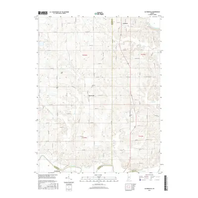
2016 Map of Alfordsville
USGS Topo · Published 2016About this map
Alfordsville serves as the central hub for this portion of southern Indiana, situated at the junction of several county routes and home to the Alfordsville Cem. The landscape is defined by the winding course of the East Fork White River along the southern border, where it separates Daviess and Dubois counties near the community of Portersville. This river system is fed by numerous tributaries including Sugar Cr, Slate Cr, and Haw Cr, which carve through the terrain between prominent local heights such as Knob Hill and Knott Hill.
Find a feature on this map
66 named features on this map. Tap any name to fly to it.
Don’t see what you’re looking for? This feature index may not catch every label — zoom into the map to look around manually.
Map Details
Editions of this 2016 Alfordsville Map
This is the sole edition of this map. No revisions or reprints were ever made.
Other maps of this area

1902 · Ditney
USGS Topo · 1:125,000

1903 · Velpen
USGS Topo · 1:62,500

1944 · Montgomery
USGS Topo · 1:24,000

1944 · Glendale
USGS Topo · 1:24,000

1946 · Jasper
USGS Topo · 1:24,000

1950 · Shoals
USGS Topo · 1:24,000

1954 · Dubois
USGS Topo · 1:24,000

1956 · Alfordsville
USGS Topo · 1:24,000

1956 · Loogootee
USGS Topo · 1:24,000

1956 · Rusk
USGS Topo · 1:24,000