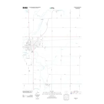
2013 Map of Algona
USGS Topo · Published 2013About this map
Algona serves as the focal point of this 2013 survey, situated where the E Fork Des Moines River winds through the landscape of northern Iowa. The city's grid is well-defined, bordered by significant local landmarks such as the Kossuth County Fairgrounds on its southern edge. This map illustrates the transition from the structured residential blocks of the town center to the vast agricultural sections of Smith Prairie.
Find a feature on this map
70 named features on this map. Tap any name to fly to it.
Don’t see what you’re looking for? This feature index may not catch every label — zoom into the map to look around manually.
Map Details
Editions of this 2013 Algona Map
This is the sole edition of this map. No revisions or reprints were ever made.
Other maps of this area

1954 · Fairmont
USGS Topo · 1:250,000

1954 · Fort Dodge
USGS Topo · 1:250,000

1957 · Fort Dodge
USGS Topo · 1:250,000

1958 · Fort Dodge
USGS Topo · 1:250,000

1958 · Fairmont
USGS Topo · 1:250,000

1972 · Algona
USGS Topo · 1:24,000

1972 · St. Joseph
USGS Topo · 1:24,000

1972 · Titonka
USGS Topo · 1:24,000

1972 · Burt
USGS Topo · 1:24,000
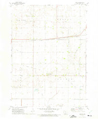
1972 · Sexton
USGS Topo · 1:24,000