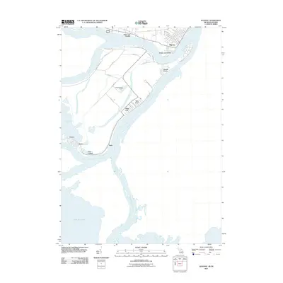
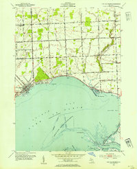
2011 Map of Algonac
USGS Topo · Published 2011About this map
Algonac sits at the gateway to the St. Clair Flats, where the Saint Clair River splits into a complex delta of islands and channels. This 2011 survey illustrates the unique maritime community layout on Harsens Island, featuring small residential clusters like Sans Souci, Maple Leaf, and Muirs. The landscape is defined by its relationship to the water, with the North Channel Saint Clair River and Middle Channel Saint Clair River carving through the low-lying terrain. The transportation network here is a mix of traditional roads and water access, supporting local infrastructure such as the Harsens Island Airport. On the mainland side, settlements like Pearl Beach and Pointe aux Tremble line the northern shore, while various landings including Clays Landing and Bedore serve as critical points for island-to-mainland transit and river navigation.
Find a feature on this map
39 named features on this map. Tap any name to fly to it.
Don’t see what you’re looking for? This feature index may not catch every label — zoom into the map to look around manually.
Map Details
Editions of this 2011 Algonac Map
This is the sole edition of this map. No revisions or reprints were ever made.
Other maps of this area

1914 · Algonac
USGS Topo · 1:62,500

1936 · New Baltimore
USGS Topo · 1:31,680

1936 · Algonac
USGS Topo · 1:31,680

1939 · New Baltimore
USGS Topo · 1:24,000

1939 · Marine City
USGS Topo · 1:24,000
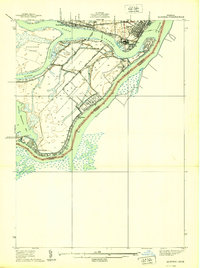
1939 · Algonac
USGS Topo · 1:24,000
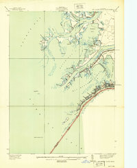
1939 · St. Clair Flats
USGS Topo · 1:24,000

1949 · St. Clair Flats
USGS Topo · 1:24,000
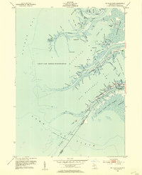
1952 · St. Clair Flats
USGS Topo · 1:24,000
1952 · New Baltimore
USGS Topo · 1:24,000