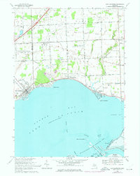
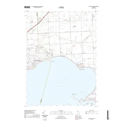
1952 Map of New Baltimore
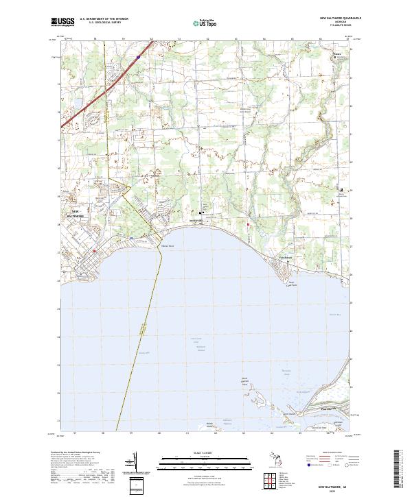
USGS Topo · Published 1954About this map
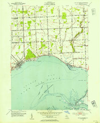
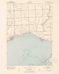
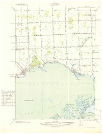
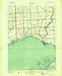
New Baltimore sits at the northwestern curve of Anchor Bay, serving as a focal point for this coastal survey of the Lake St Clair shoreline. The settlement pattern follows the waterfront and major inland routes like Marine City Highway 607, with smaller clusters appearing at Anchorville and Fair Haven. To the south, the landscape shifts into the marshy complex of the Flats and Dickinson Island, much of which is preserved within the Lake St Clair National Wildlife Refuge.
Find a feature on this map
53 named features on this map. Tap any name to fly to it.
Don’t see what you’re looking for? This feature index may not catch every label — zoom into the map to look around manually.
Map Details
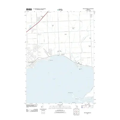
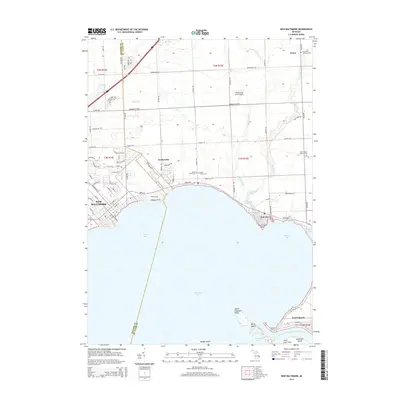
Editions of this 1952 New Baltimore Map
2 editions found
Historical Maps of Chesterfield Township Through Time
9 maps found
1936 New Baltimore
Macomb County, MI
1939 New Baltimore
Macomb County, MI
1952 New Baltimore
Macomb County, MI
1968 New Baltimore
Macomb County, MI
2011 New Baltimore
Macomb County, MI
2014 New Baltimore
Macomb County, MI
2017 New Baltimore
Macomb County, MI
2019 New Baltimore
Macomb County, MI
2023 New Baltimore
Macomb County, MI
Featured Locations
- Clay Township, MI
- Lenox Township, MI
- New Baltimore, MI
- Chesterfield Township, MI
- Anchorville, Ira Township