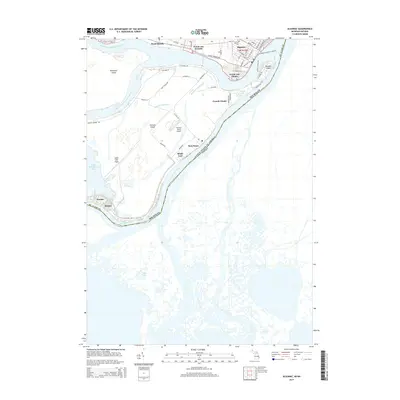
2014 Map of Algonac
USGS Topo · Published 2014About this map
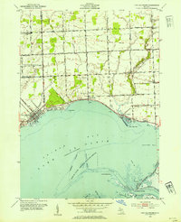
The Saint Clair River defines this borderland landscape, where the international boundary between the United States and Canada weaves through a complex network of channels and islands. On the Michigan mainland, the city of Algonac serves as a hub, connected to the water by streets like St Clair River Dr and the Algonac-Walpole Island Fry. To the west, the river system branches into the North Channel and Middle Channel, creating the extensive wetlands of the Saint Clair Flats.
Find a feature on this map
64 named features on this map. Tap any name to fly to it.
Don’t see what you’re looking for? This feature index may not catch every label — zoom into the map to look around manually.
Map Details
Editions of this 2014 Algonac Map
This is the sole edition of this map. No revisions or reprints were ever made.
Other maps of this area

1914 · Algonac
USGS Topo · 1:62,500

1936 · New Baltimore
USGS Topo · 1:31,680

1936 · Algonac
USGS Topo · 1:31,680

1939 · New Baltimore
USGS Topo · 1:24,000

1939 · Marine City
USGS Topo · 1:24,000
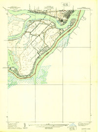
1939 · Algonac
USGS Topo · 1:24,000
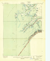
1939 · St. Clair Flats
USGS Topo · 1:24,000

1949 · St. Clair Flats
USGS Topo · 1:24,000
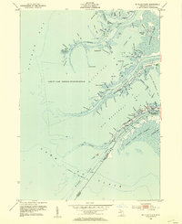
1952 · St. Clair Flats
USGS Topo · 1:24,000
1952 · New Baltimore
USGS Topo · 1:24,000