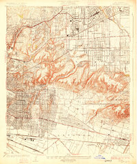
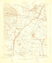
1926 Map of Alhambra
USGS Topo · Published 1926About this map
Alhambra and its surrounding suburbs appear here in a period of rapid residential expansion, where gridiron street patterns meet the dramatic topography of the hills. The map highlights the historic San Gabriel Mission near the eastern edge and the large Convent of the Holy Name in the central residential district. Distinctive landmarks of the 1920s leisure and industrial landscape are prominent, including the Ascot Speedway and the Midwick Country Club.
Find a feature on this map
68 named features on this map. Tap any name to fly to it.
Don’t see what you’re looking for? This feature index may not catch every label — zoom into the map to look around manually.
Map Details
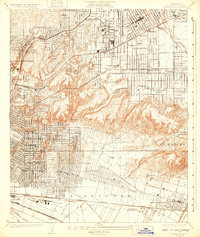
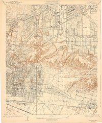
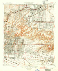
Editions of this 1926 Alhambra Map
4 editions found
Other maps of this area

1894 · Los Angeles
USGS Topo · 1:62,500

1896 · Pasadena
USGS Topo · 1:62,500

1896 · Downey
USGS Topo · 1:62,500

1899 · Downey
USGS Topo · 1:62,500

1900 · Pasadena
USGS Topo · 1:62,500

1900 · Los Angeles
USGS Topo · 1:62,500

1901 · Southern California Sheet No. 1
USGS Topo · 1:250,000

1902 · Downey
USGS Topo · 1:62,500

1904 · Southern California Sheet No. 1
USGS Topo · 1:250,000
1923 · Bell
USGS Topo · 1:24,000