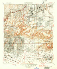
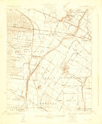
1926 Map of Alhambra
USGS Topo · Published 1939About this map
The San Gabriel Mission stands as a historic anchor in this detailed survey of the San Gabriel Valley, capturing a period of rapid suburban expansion and industrialization. The landscape is a complex grid of emerging residential tracts and legacy agricultural lands, intersected by a dense network of transit infrastructure. Major rail lines including the Southern Pacific and the Pacific Electric provide the backbone for development in Alhambra and Montebello, while landmarks like the Ascot Speedway and Midwick Country Club reflect the social character of the mid-1920s.
Find a feature on this map
62 named features on this map. Tap any name to fly to it.
Don’t see what you’re looking for? This feature index may not catch every label — zoom into the map to look around manually.
Map Details
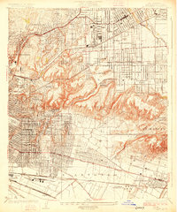
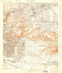
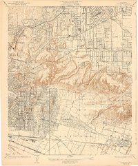
Editions of this 1926 Alhambra Map
4 editions found
Other maps of this area

1894 · Los Angeles
USGS Topo · 1:62,500

1896 · Pasadena
USGS Topo · 1:62,500

1896 · Downey
USGS Topo · 1:62,500

1899 · Downey
USGS Topo · 1:62,500

1900 · Pasadena
USGS Topo · 1:62,500

1900 · Los Angeles
USGS Topo · 1:62,500

1901 · Southern California Sheet No. 1
USGS Topo · 1:250,000

1902 · Downey
USGS Topo · 1:62,500

1904 · Southern California Sheet No. 1
USGS Topo · 1:250,000
1923 · Bell
USGS Topo · 1:24,000