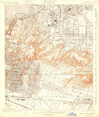
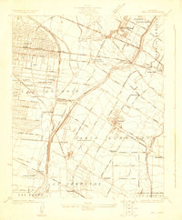
1926 Map of Alhambra
USGS Topo · Published 1931About this map
The San Gabriel Mission stands as a primary landmark in this mid-1920s landscape, an era defined by the rapid expansion of the San Gabriel Valley and the burgeoning oil industry. The southern portion of the map is dominated by the Montebello Standard Oil Co and a network of Oil Wells at La Merced, while the transportation corridor is shaped by the Pacific Electric railway and the Southern Pacific railroad.
Find a feature on this map
55 named features on this map. Tap any name to fly to it.
Don’t see what you’re looking for? This feature index may not catch every label — zoom into the map to look around manually.
Map Details
Editions of this 1926 Alhambra Map
4 editions found
Other maps of this area

1894 · Los Angeles
USGS Topo · 1:62,500

1896 · Pasadena
USGS Topo · 1:62,500

1896 · Downey
USGS Topo · 1:62,500

1899 · Downey
USGS Topo · 1:62,500

1900 · Pasadena
USGS Topo · 1:62,500

1900 · Los Angeles
USGS Topo · 1:62,500

1901 · Southern California Sheet No. 1
USGS Topo · 1:250,000

1902 · Downey
USGS Topo · 1:62,500

1904 · Southern California Sheet No. 1
USGS Topo · 1:250,000
1923 · Bell
USGS Topo · 1:24,000