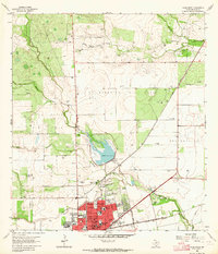
1963 Map of Alice North
USGS Topo · Published 1964About this map
Industrial expansion in the South Texas brush country is evident in this early 1960s study of Alice. The city’s northern growth is anchored by a dense network of energy infrastructure, including the Alice North Oil Field, Embleton Oil Field, and Bentonville Oil Field. The landscape is carved by a series of creeks, most notably Chiltipin Creek and Resaca de Enmedio Creek, which flow toward the municipal center.
Find a feature on this map
35 named features on this map. Tap any name to fly to it.
Don’t see what you’re looking for? This feature index may not catch every label — zoom into the map to look around manually.
Map Details
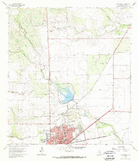
Editions of this 1963 Alice North Map
2 editions found
Other maps of this area

1917 · Ben Bolt
USGS Topo · 1:62,500

1920 · San Diego
USGS Topo · 1:62,500

1950 · Corpus Christi
USGS Topo · 1:250,000

1954 · Orange Grove
USGS Topo · 1:62,500

1954 · Kingsville
USGS Topo · 1:62,500

1956 · Corpus Christi
USGS Topo · 1:250,000

1956 · Laredo
USGS Topo · 1:250,000

1960 · Corpus Christi
USGS Topo · 1:250,000

1963 · San Diego NE
USGS Topo · 1:24,000

1963 · San Diego
USGS Topo · 1:24,000
Featured Places
- Alice, TX
- Del Norte Mobile Home Park Colonia, TX
- Hollow Tree Estates Colonia, TX
- Kiesling's Colonia, Alice
- Howell Addition Colonia, TX