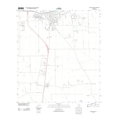
2013 Map of Alice South
USGS Topo · Published 2013About this map
Ben Bolt and Rancho Alegre anchor the settlement patterns in this South Texas landscape, where the southern reaches of the city of Alice transition into open ranch and oil country. The area is defined by its energy and aviation infrastructure, notably the Alice International Airport and extensive petroleum operations including the Tom Graham Oil Field and Magnolia City Oil Field. Local history is preserved in several small burial grounds such as Fraternal Cem, Lattas Cem, and Calaveras Cem, which are scattered among the seasonal watercourses of Lattas Creek and San Andreas Cr. The network of secondary roads, like FM-625 and various county routes, illustrates the grid-like development of the region's agricultural and industrial parcels, while the Alto Del Burro Windmill stands as a traditional landmark amidst the modern energy production facilities.
Find a feature on this map
127 named features on this map. Tap any name to fly to it.
Don’t see what you’re looking for? This feature index may not catch every label — zoom into the map to look around manually.
Map Details
Editions of this 2013 Alice South Map
This is the sole edition of this map. No revisions or reprints were ever made.
Other maps of this area

1917 · Ben Bolt
USGS Topo · 1:62,500

1920 · San Diego
USGS Topo · 1:62,500

1950 · Corpus Christi
USGS Topo · 1:250,000

1954 · Orange Grove
USGS Topo · 1:62,500

1954 · Kingsville
USGS Topo · 1:62,500

1956 · Corpus Christi
USGS Topo · 1:250,000

1956 · Laredo
USGS Topo · 1:250,000

1960 · Corpus Christi
USGS Topo · 1:250,000

1963 · Ben Bolt SE
USGS Topo · 1:24,000

1963 · San Diego
USGS Topo · 1:24,000