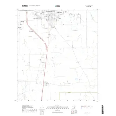
2019 Map of Alice South
USGS Topo · Published 2019About this map
Ben Bolt and the southern reaches of Alice anchor this landscape during a period of residential expansion and rural connectivity. The map documents numerous colonias—unincorporated settlements often reflecting specific local development patterns—including K-Bar Ranch Colonia, Alice Acres Colonia, and Holshouser Number 1 Colonia. These communities are clustered along major transit corridors like Us HWY 281 and FM 1554, which serve as the lifelines for the region's agricultural and suburban growth.
Find a feature on this map
112 named features on this map. Tap any name to fly to it.
Don’t see what you’re looking for? This feature index may not catch every label — zoom into the map to look around manually.
Map Details
Editions of this 2019 Alice South Map
This is the sole edition of this map. No revisions or reprints were ever made.
Other maps of this area

1917 · Ben Bolt
USGS Topo · 1:62,500

1920 · San Diego
USGS Topo · 1:62,500

1950 · Corpus Christi
USGS Topo · 1:250,000

1954 · Orange Grove
USGS Topo · 1:62,500

1954 · Kingsville
USGS Topo · 1:62,500

1956 · Corpus Christi
USGS Topo · 1:250,000

1956 · Laredo
USGS Topo · 1:250,000

1960 · Corpus Christi
USGS Topo · 1:250,000

1963 · Ben Bolt SE
USGS Topo · 1:24,000

1963 · San Diego
USGS Topo · 1:24,000