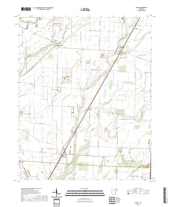
2024 Map of Alicia
USGS Topo · Published 2024About this map
Alicia and the surrounding Lawrence County bottomlands are defined by a complex network of agricultural drainage and natural waterways. This modern landscape is bisected by the diagonal corridor of the Union Pacific Railroad, which links the settlements of Alicia, Calvin, and Minturn through the center of the quadrangle. The terrain is notably flat, dominated by the winding course of Village Creek and an extensive system of man-made channels like Black Spice Ditch and Maple Ditch, which converted former wetlands into productive Delta farmland.
Find a feature on this map
57 named features on this map. Tap any name to fly to it.
Don’t see what you’re looking for? This feature index may not catch every label — zoom into the map to look around manually.
Map Details
Editions of this 2024 Alicia Map
This is the sole edition of this map. No revisions or reprints were ever made.
Other maps of this area

1932 · Walnut Ridge
USGS Topo · 1:62,500

1934 · Powhatan
USGS Topo · 1:62,500

1935 · Powhatan
USGS Topo · 1:62,500

1935 · Sedgwick
USGS Topo · 1:62,500

1935 · Alicia
USGS Topo · 1:62,500

1935 · Walnut Ridge
USGS Topo · 1:62,500

1953 · Memphis
USGS Topo · 1:250,000

1956 · Memphis
USGS Topo · 1:250,000

1957 · Poplar Bluff
USGS Topo · 1:250,000

1959 · Poplar Bluff
USGS Topo · 1:250,000