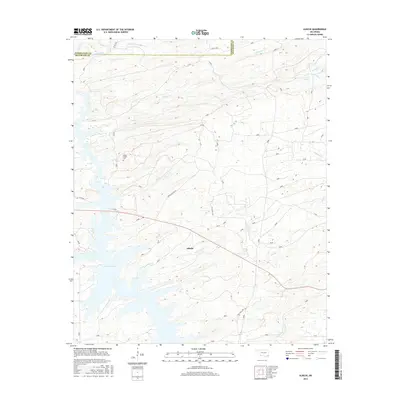
2016 Map of Alikchi
USGS Topo · Published 2016About this map
Alikchi stands as a focal point in this southeastern Oklahoma landscape, where the headwaters of Pine Creek Lake meet a dense network of creek drainages. The area is defined by its water system, with Black Sulphur Cr and Long Cr cutting through the terrain alongside smaller tributaries like Big Br and Wolf Cr. The intersection of Bible Academy Rd and Billy Bell TRL suggests a rural community structure that centers on local landmarks like Wilson Chapel Cem.
Find a feature on this map
30 named features on this map. Tap any name to fly to it.
Don’t see what you’re looking for? This feature index may not catch every label — zoom into the map to look around manually.
Map Details
Editions of this 2016 Alikchi Map
This is the sole edition of this map. No revisions or reprints were ever made.
Other maps of this area

1901 · Alikchi
USGS Topo · 1:125,000

1902 · Lukfata
USGS Topo · 1:125,000

1950 · Mcalester
USGS Topo · 1:250,000

1959 · Golden
USGS Topo · 1:62,500

1960 · Bethel
USGS Topo · 1:62,500

1962 · McAlester
USGS Topo · 1:250,000

1962 · Wright City
USGS Topo · 1:24,000

1962 · Sobol
USGS Topo · 1:24,000

1962 · Caney Mountain
USGS Topo · 1:24,000

1962 · Alikchi
USGS Topo · 1:24,000