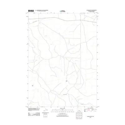
2012 Map of Alkali Butte
USGS Topo · Published 2012About this map
The Alkali Butte Oil Field anchors this portion of Fremont County, illustrating the industrial footprint of energy extraction in the Wyoming landscape. This topographic record shows the network of service roads and natural drainages that define the area, most notably the seasonal course of Alkali Cr and the topographic relief of Alkali Butte. The transport of resources is evident in the primary corridors crossing the terrain, including the Riverton Gas Hills Rd in the north and the Oil Springs Rd near the southern boundary. Between these routes, the map captures the transition from named topographic features like Carter Draw to the utilitarian infrastructure required for petroleum development.
Find a feature on this map
6 named features on this map. Tap any name to fly to it.
Don’t see what you’re looking for? This feature index may not catch every label — zoom into the map to look around manually.
Map Details
Editions of this 2012 Alkali Butte Map
This is the sole edition of this map. No revisions or reprints were ever made.
Other maps of this area

1950 · Riverton East
USGS Topo · 1:24,000

1951 · Fuller Reservoir
USGS Topo · 1:24,000

1951 · Indian Butte
USGS Topo · 1:24,000

1953 · Blue Gulch
USGS Topo · 1:24,000

1953 · Arapahoe NE
USGS Topo · 1:24,000

1953 · Bringolf Ranch
USGS Topo · 1:24,000

1953 · Campbell Ridge
USGS Topo · 1:24,000

1953 · Sand Draw
USGS Topo · 1:24,000

1955 · Thermopolis
USGS Topo · 1:250,000

1955 · Lander
USGS Topo · 1:250,000