
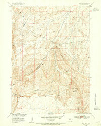
1953 Map of Blue Gulch
USGS Topo · Published 1954About this map
Beaver Rim dominates the southern landscape of this 1953 survey, creating a dramatic geographic divide in Fremont County. The map documents the high plateau and the complex drainage systems that flow north toward the Missouri River Basin. Water sources are critical identifiers in this arid high-country terrain, with Cogswell Spring, Moone Spring, and Kay Spring serving as vital landmarks for early settlers and ranchers.
Find a feature on this map
14 named features on this map. Tap any name to fly to it.
Don’t see what you’re looking for? This feature index may not catch every label — zoom into the map to look around manually.
Map Details
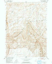
Editions of this 1953 Blue Gulch Map
3 editions found
Other maps of this area

1952 · Tin Cup Mountain
USGS Topo · 1:24,000

1952 · Double Butte
USGS Topo · 1:24,000

1952 · Rongis Reservoir
USGS Topo · 1:24,000

1953 · Elkhorn Springs
USGS Topo · 1:24,000

1953 · Campbell Ridge
USGS Topo · 1:24,000

1953 · Sand Draw
USGS Topo · 1:24,000

1953 · Dishpan Butte
USGS Topo · 1:24,000

1955 · Lander
USGS Topo · 1:250,000

1955 · Casper
USGS Topo · 1:250,000
1957 · Double Butte
USGS Topo · 1:24,000