
1953 Map of Campbell Ridge
USGS Topo · Published 1954About this map
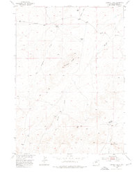
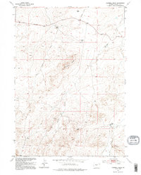
Campbell Ridge dominates this high-altitude Fremont County landscape, as surveyed in the early 1950s for the development of the Missouri River Basin. The drainage patterns of the era are clearly defined by Dry Cheyenne Creek and Oil Springs Creek, which carve through the terrain toward the surrounding flats. Evidence of cattle ranching and early land management is found at Croft Ranch and near Campbell Lake. The presence of the Ohio Road and various unnamed tracks suggests the sparse but vital transport network used by local ranchers. Researchers can also pinpoint several early surveying markers, including the Conant Azimuth Mark and high-point elevations like BM Muskrat 5486.
Find a feature on this map
21 named features on this map. Tap any name to fly to it.
Don’t see what you’re looking for? This feature index may not catch every label — zoom into the map to look around manually.
Map Details
Editions of this 1953 Campbell Ridge Map
3 editions found
Other maps of this area

1951 · Fuller Reservoir
USGS Topo · 1:24,000

1951 · Indian Butte
USGS Topo · 1:24,000

1952 · Double Butte
USGS Topo · 1:24,000

1952 · Haybarn Hill
USGS Topo · 1:24,000

1952 · Rongis Reservoir
USGS Topo · 1:24,000

1953 · Blue Gulch
USGS Topo · 1:24,000

1953 · Sand Draw
USGS Topo · 1:24,000

1955 · Thermopolis
USGS Topo · 1:250,000

1955 · Arminto
USGS Topo · 1:250,000

1955 · Lander
USGS Topo · 1:250,000