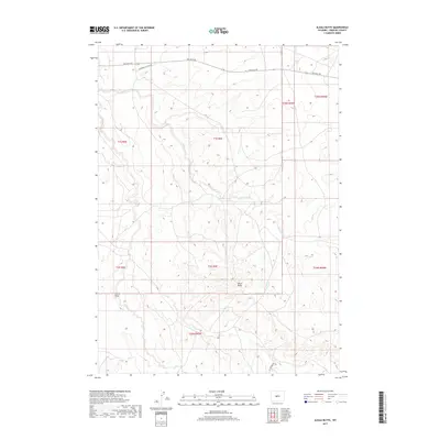
2017 Map of Alkali Butte
USGS Topo · Published 2017About this map
Alkali Butte stands as the central topographic landmark in this high-desert region of Fremont County, where drainage systems like Alkali Creek and Carter Draw carve through the arid terrain. The map reveals a landscape defined more by energy infrastructure and access than by traditional settlements, with industrial thoroughfares like Gas Hills Rd, Riverton Gas Hills Rd, and Oil Springs Rd underscoring the region's importance to Wyoming's mineral and gas extraction sectors. The intricate contour lines detail the many coulees and drainages, such as Sand Draw, that feed into larger basins. This survey provides a precise look at the modern land use and remote infrastructure of the Wind River Basin during the early twenty-first century, useful for understanding the intersection of physical geography and industrial development in this sparsely populated interior.
Find a feature on this map
16 named features on this map. Tap any name to fly to it.
Don’t see what you’re looking for? This feature index may not catch every label — zoom into the map to look around manually.
Map Details
Editions of this 2017 Alkali Butte Map
This is the sole edition of this map. No revisions or reprints were ever made.
Other maps of this area

1950 · Riverton East
USGS Topo · 1:24,000

1951 · Fuller Reservoir
USGS Topo · 1:24,000

1951 · Indian Butte
USGS Topo · 1:24,000

1953 · Blue Gulch
USGS Topo · 1:24,000

1953 · Arapahoe NE
USGS Topo · 1:24,000

1953 · Bringolf Ranch
USGS Topo · 1:24,000

1953 · Campbell Ridge
USGS Topo · 1:24,000

1953 · Sand Draw
USGS Topo · 1:24,000

1955 · Thermopolis
USGS Topo · 1:250,000

1955 · Lander
USGS Topo · 1:250,000