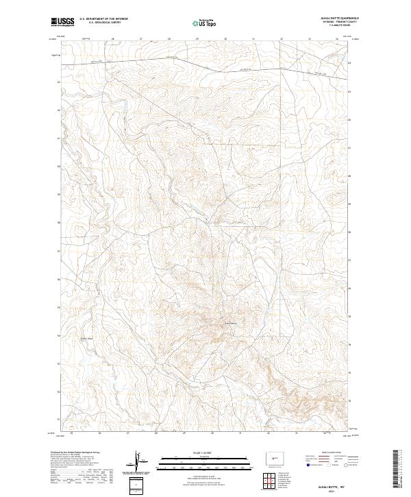
2021 Map of Alkali Butte
USGS Topo · Published 2021About this map
Alkali Butte rises above the drainage of Alkali Creek in this portion of the Wind River Basin, a landscape defined by expansive public lands and energy-sector corridors. The presence of Gas Hills Rd and Oil Springs Rd underscores the regional focus on resource extraction and transit across the high plains of Fremont County. Surveyed decades after the peak of Wyoming's uranium boom, the map reveals the persistent infrastructure used to navigate this dry terrain, where intermittent water features like Carter Draw carve paths through the section lines. The township and range divisions, including t1s r6e and t34n r95w, illustrate the intersection of the Wind River Meridian and the 6th Principal Meridian, a characteristic surveying anomaly found in this part of the state.
Find a feature on this map
13 named features on this map. Tap any name to fly to it.
Don’t see what you’re looking for? This feature index may not catch every label — zoom into the map to look around manually.
Map Details
Editions of this 2021 Alkali Butte Map
This is the sole edition of this map. No revisions or reprints were ever made.
Other maps of this area

1950 · Riverton East
USGS Topo · 1:24,000

1951 · Fuller Reservoir
USGS Topo · 1:24,000

1951 · Indian Butte
USGS Topo · 1:24,000

1953 · Blue Gulch
USGS Topo · 1:24,000

1953 · Arapahoe NE
USGS Topo · 1:24,000

1953 · Bringolf Ranch
USGS Topo · 1:24,000

1953 · Campbell Ridge
USGS Topo · 1:24,000

1953 · Sand Draw
USGS Topo · 1:24,000

1955 · Thermopolis
USGS Topo · 1:250,000

1955 · Lander
USGS Topo · 1:250,000