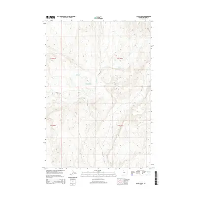
2015 Map of Alkali Creek
USGS Topo · Published 2015About this map
Alkali Creek and its complex drainage patterns define this Big Horn County landscape, where water management is central to the land's utility. The presence of several named water storage sites, including Eberhard Number 1 Reservoir, Bethurem Reservoir, and Brown Number 1 Reservoir, points to the essential nature of irrigation and stock watering in this arid Wyoming environment. The terrain is structured by a network of drainage ways and high-ground divides, navigated by local routes such as Crystal Creek Rd and Schroeder Access Rd. These roads provide access to the various sections of the public land survey system, which remains the primary organizational framework for this sparsely populated territory. The map illustrates how human activity is localized around these vital water sources and the natural course of Crystal Creek.
Find a feature on this map
12 named features on this map. Tap any name to fly to it.
Don’t see what you’re looking for? This feature index may not catch every label — zoom into the map to look around manually.
Map Details
Editions of this 2015 Alkali Creek Map
This is the sole edition of this map. No revisions or reprints were ever made.
Other maps of this area

1898 · Bald Mountain
USGS Topo · 1:125,000

1901 · Bald Mountain
USGS Topo · 1:125,000

1955 · Cody
USGS Topo · 1:250,000

1955 · Sheridan
USGS Topo · 1:250,000

1958 · Cody
USGS Topo · 1:250,000

1958 · Sheridan
USGS Topo · 1:250,000

1960 · Medicine Wheel
USGS Topo · 1:24,000

1960 · Devils Kitchen
USGS Topo · 1:24,000

1960 · Bear Creek Ranch
USGS Topo · 1:24,000

1962 · Sheridan
USGS Topo · 1:250,000