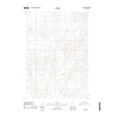
2017 Map of Alkali Creek
USGS Topo · Published 2017About this map
Alkali Creek winds through this arid section of Big Horn County, defining a landscape shaped by water management and remote access. The map reveals the infrastructure of high-desert ranching and resource use, centered around the Bethurem Reservoir and the Brown Number 1 Reservoir. These water features, alongside the course of Crystal Cr, represent vital landmarks in an otherwise sparsely settled region. Transport is limited primarily to the winding path of Crystal Creek Rd, which provides the main artery through the complex topography. This survey captures the rural character of northern Wyoming in the early 21st century, where the land is primarily partitioned into large sections for grazing and water rights, indicated by the detailed township and range boundaries of t55n r94w and t54n r93w.
Find a feature on this map
9 named features on this map. Tap any name to fly to it.
Don’t see what you’re looking for? This feature index may not catch every label — zoom into the map to look around manually.
Map Details
Editions of this 2017 Alkali Creek Map
This is the sole edition of this map. No revisions or reprints were ever made.
Other maps of this area

1898 · Bald Mountain
USGS Topo · 1:125,000

1901 · Bald Mountain
USGS Topo · 1:125,000

1955 · Cody
USGS Topo · 1:250,000

1955 · Sheridan
USGS Topo · 1:250,000

1958 · Cody
USGS Topo · 1:250,000

1958 · Sheridan
USGS Topo · 1:250,000

1960 · Medicine Wheel
USGS Topo · 1:24,000

1960 · Devils Kitchen
USGS Topo · 1:24,000

1960 · Bear Creek Ranch
USGS Topo · 1:24,000

1962 · Sheridan
USGS Topo · 1:250,000