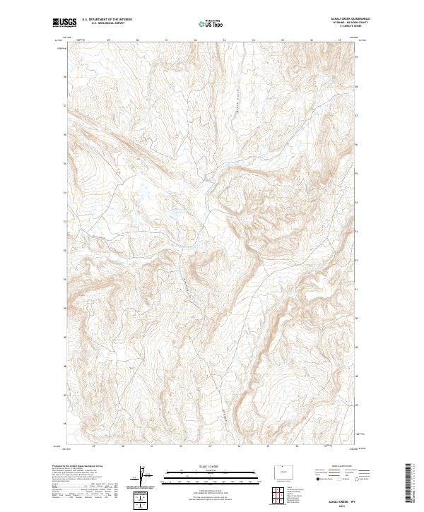
2021 Map of Alkali Creek
USGS Topo · Published 2021About this map
Brown Number 1 Reservoir serves as a critical water management point in this arid stretch of Big Horn County, where the topography is defined by intricate drainages and sharp elevation changes. The land is largely organized around the seasonal flow of Crystal Cr and the prominent Black Gulch, which carve through the high plains. Human activity is focused on a handful of unpaved routes, primarily Crystal Creek Rd, which provide access through the complex network of ridges. This 2021 survey illustrates the continued reliance on sparse water infrastructure and rugged access roads in the remote Wyoming interior, offering a clear view of the landscape's natural drainage patterns and the township divisions of the Public Land Survey System.
Find a feature on this map
8 named features on this map. Tap any name to fly to it.
Don’t see what you’re looking for? This feature index may not catch every label — zoom into the map to look around manually.
Map Details
Editions of this 2021 Alkali Creek Map
This is the sole edition of this map. No revisions or reprints were ever made.
Other maps of this area

1898 · Bald Mountain
USGS Topo · 1:125,000

1901 · Bald Mountain
USGS Topo · 1:125,000

1955 · Cody
USGS Topo · 1:250,000

1955 · Sheridan
USGS Topo · 1:250,000

1958 · Cody
USGS Topo · 1:250,000

1958 · Sheridan
USGS Topo · 1:250,000

1960 · Medicine Wheel
USGS Topo · 1:24,000

1960 · Devils Kitchen
USGS Topo · 1:24,000

1960 · Bear Creek Ranch
USGS Topo · 1:24,000

1962 · Sheridan
USGS Topo · 1:250,000