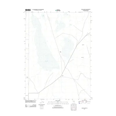
2011 Map of Alkali Lake
USGS Topo · Published 2011About this map
Alkali Lake and the arid expanse of Long Valley dominate this northern Nevada landscape, where water sources are vital landmarks. The 2011 topography highlights a system of ephemeral and geothermal features, including Dry Lake, Warm Springs, and Hills Warm Spring tucked into the eastern rises. Human activity is centered on the established Harriman Ranch and Bandy Ranch, which sit near the north-south corridor of Fort Bidwell Rd. The geography transitions from the flat lakebed to elevated terrain at Big Point and into the depression of Little Basin, illustrating a high-desert environment where seasonal drainage like Barrey Brook defines the survival and placement of these historic ranching outposts.
Find a feature on this map
11 named features on this map. Tap any name to fly to it.
Don’t see what you’re looking for? This feature index may not catch every label — zoom into the map to look around manually.
Map Details
Editions of this 2011 Alkali Lake Map
This is the sole edition of this map. No revisions or reprints were ever made.
Other maps of this area

1889 · Long Valley
USGS Topo · 1:250,000

1954 · Vya
USGS Topo · 1:250,000

1958 · Vya
USGS Topo · 1:250,000

1962 · Vya
USGS Topo · 1:250,000

1966 · Massacre Lake NW
USGS Topo · 1:24,000

1966 · Vya
USGS Topo · 1:24,000
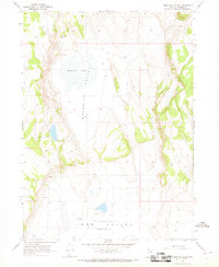
1966 · Mosquito Valley
USGS Topo · 1:24,000
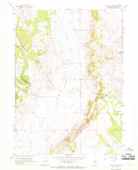
1966 · Calcutta Lake
USGS Topo · 1:24,000
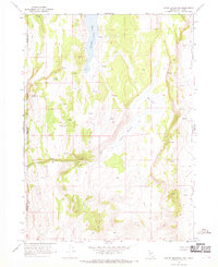
1966 · Carter Reservoir
USGS Topo · 1:24,000

1966 · Alkali Lake
USGS Topo · 1:24,000