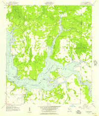
1956 Map of Allanton
USGS Topo · Published 1957About this map
The coastal hamlets of Allanton and Farmdale sit at the intersection of industry and military expansion in the mid-1950s. Located on the shores of East Bay, these small settlements are defined by a complex network of wetlands and inlets, including Eagle Nest Bayou and Horseshoe Bayou. The landscape reflects the importance of maritime transit, as the Intracoastal Waterway cuts through the bay, passing points such as Lathrop Point and Strange Point.
Find a feature on this map
31 named features on this map. Tap any name to fly to it.
Don’t see what you’re looking for? This feature index may not catch every label — zoom into the map to look around manually.
Map Details
Editions of this 1956 Allanton Map
2 editions found
Other maps of this area

1943 · Overstreet
USGS Topo · 1:31,680

1943 · Crooked Island
USGS Topo · 1:31,680

1944 · Beacon Hill
USGS Topo · 1:31,680

1944 · Long Point
USGS Topo · 1:31,680

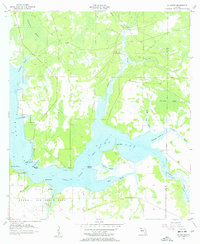
1945 · Allanton
USGS Topo · 1:31,680

1945 · North Of Allanton
USGS Topo · 1:31,680

1945 · Wetappo Creek
USGS Topo · 1:31,680

1945 · Tenmile Swamp
USGS Topo · 1:31,680
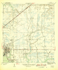
1945 · Parker
USGS Topo · 1:31,680

1947 · Allanton
USGS Topo · 1:25,000