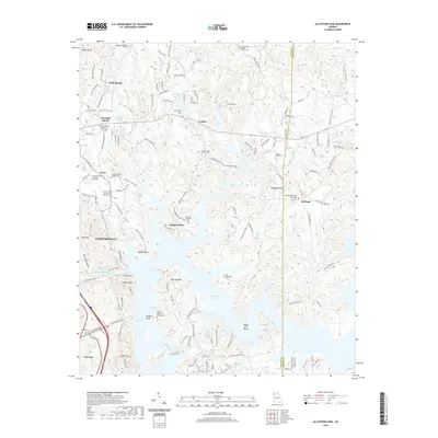
2020 Map of Allatoona Dam
USGS Topo · Published 2020About this map
Allatoona Lake dominates the landscape of this 2020 survey, reflecting the complex shoreline and many branches created by the Allatoona Dam on the Etowah River. The geography of the region is defined by distinct peaks and ridges such as Vineyard Mtn, Red Top Mtn, and Signal Mtn, which overlook the submerged valleys. This modern data includes several older burial grounds and rural religious centers that remain part of the local fabric, including Old Macedonia Cem and the Rowland Springs Baptist Church.
Find a feature on this map
147 named features on this map. Tap any name to fly to it.
Don’t see what you’re looking for? This feature index may not catch every label — zoom into the map to look around manually.
Map Details
Editions of this 2020 Allatoona Dam Map
This is the sole edition of this map. No revisions or reprints were ever made.
Other maps of this area

1890 · Cartersville
USGS Topo · 1:125,000

1891 · Cartersville
USGS Topo · 1:125,000

1896 · Cartersville
USGS Topo · 1:125,000

1906 · Stilesboro
USGS Topo · 1:62,500

1907 · Acworth
USGS Topo · 1:62,500

1908 · Stilesboro
USGS Topo · 1:62,500

1909 · Acworth
USGS Topo · 1:62,500

1941 · Adairsville
USGS Topo · 1:62,500

1944 · Adairsville
USGS Topo · 1:62,500

1947 · Waleska
USGS Topo · 1:62,500