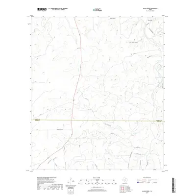
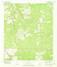
2019 Map of Allen Creek
USGS Topo · Published 2019About this map
Johnson Fork and its tributaries carve through this high-plateau landscape on the border of Kimble and Kerr counties. The map reveals a land defined by water management and ranching infrastructure, characterized by numerous named depressions and catchment points such as Elm Waterhole, Cedar Waterhole, Moody Lake, and Roach Lake. This network of water sources, including the isolated West Spring, suggests a region adapted to the semi-arid conditions of the Texas Hill Country, where every creek and draw like Mudge Draw and Allen Cr is critical to the local economy.
Find a feature on this map
38 named features on this map. Tap any name to fly to it.
Don’t see what you’re looking for? This feature index may not catch every label — zoom into the map to look around manually.
Map Details
Editions of this 2019 Allen Creek Map
This is the sole edition of this map. No revisions or reprints were ever made.
Other maps of this area

1932 · Junction
USGS Topo · 1:62,500

1954 · Llano
USGS Topo · 1:250,000

1955 · Llano
USGS Topo · 1:250,000

1956 · Llano
USGS Topo · 1:250,000

1963 · Y O Ranch
USGS Topo · 1:24,000

1964 · Live Oak Ranch
USGS Topo · 1:24,000
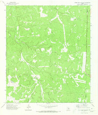
1971 · Horse Camp Waterhole
USGS Topo · 1:24,000
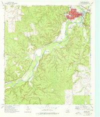
1974 · Junction
USGS Topo · 1:24,000
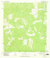
1974 · Junction SE
USGS Topo · 1:24,000
1974 · Tobe Branch
USGS Topo · 1:24,000