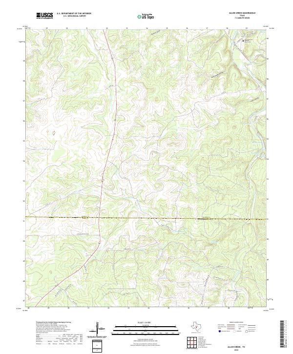
2022 Map of Allen Creek
USGS Topo · Published 2022About this map
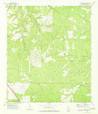
Johnson Fork and Allen Creek wind through this corner of the Texas Hill Country, where the landscape is defined by deep draws like Eli Hollow and Rock House Hollow. The rural character of the region is anchored by the Joy Settlement in the northeast, situated near the Rembold Ranch Cemetery and the waters of Joy Creek. Significant ranching infrastructure is evident through a network of named roads such as Stapp Road and Cummings Road, alongside vital water sources like Headquarters Springs, West Spring, and East Spring. The boundary between Kimble and Kerr counties cuts across the lower third of the quadrangle, passing near Elm Waterhole and Cedar Waterhole. This terrain, dominated by limestone-carved drainages and named lakes like Roach Lake and Moody Lake, reflects a traditional ranching economy where water access remains the primary driver of land use and settlement patterns.
Find a feature on this map
40 named features on this map. Tap any name to fly to it.
Don’t see what you’re looking for? This feature index may not catch every label — zoom into the map to look around manually.
Map Details
Editions of this 2022 Allen Creek Map
This is the sole edition of this map. No revisions or reprints were ever made.
Other maps of this area

1932 · Junction
USGS Topo · 1:62,500

1954 · Llano
USGS Topo · 1:250,000

1955 · Llano
USGS Topo · 1:250,000

1956 · Llano
USGS Topo · 1:250,000

1963 · Y O Ranch
USGS Topo · 1:24,000

1964 · Live Oak Ranch
USGS Topo · 1:24,000
1971 · Horse Camp Waterhole
USGS Topo · 1:24,000
1974 · Junction
USGS Topo · 1:24,000
1974 · Junction SE
USGS Topo · 1:24,000
1974 · Tobe Branch
USGS Topo · 1:24,000